Wednesday, December 31, 2008
Tuesday, December 30, 2008
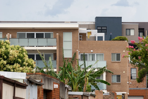
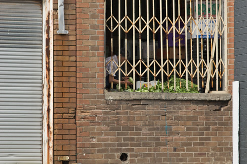
A walk around Sydenham, Alexandria and Newtown
For the start I walked down from Marrickville to Sydenham station. This is the station I use to get into the city.
Wikipedia: Sydenham developed after the Illawarra line came through the area to Hurstville in the late 1800s. It was named after Sydenham, a suburb of London, similar for its close proximity to the city and a railway junction. The station was originally known as Marrickville when it opened on 15 October 1884. It was changed to Sydenham on the 19th March 1895 when a new line was being built to Bankstown and the first station was to be called Marrickville. The post office opened in April 1899 as Tempe Park and was only renamed Sydenham in 1964.


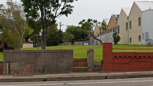
We headed off down Unwins bridge road to walk past the Brazilian Shop. Turned left by the goods railway line into Par Road and then up Henry street to the park where the houses used to be before they were bought by the state government and demolished because of noise from the 16R runway at Sydney Airport.


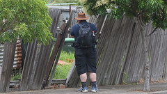
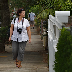
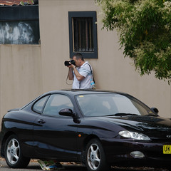
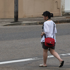
I was walking with 4 others, James, Yacinta, Jashil and Claudia.
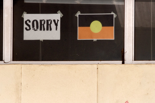
The park itself is a memorial to the Airport causing the destruction of the houses that were once located here.


We then headed off north through the suburb of Sydenham along
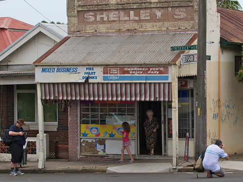


After the Milk Bar we were in St Peters.
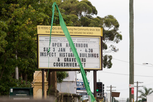
Wikipedia: St Peters was named by its association with St Peters Anglican Church, which was consecrated in 1838. St Peters is the third oldest Anglican church in Sydney and has been claimed to be the first church built in Australia using non-convict labour.The first large land grant in the area was made in 1799 to Provost-Marshal Thomas Smyth. His 470 acres (1.9 km2) stretched from the Cooks River to the present Campbell Street. After his death in 1804, the land was acquired by Robert Campbell (1769–1836), a wealthy merchant who built some of the early warehouses along the Sydney Cove waterfront.
Alexander Brodie Spark (1792–1856), was a wealthy merchant who named the suburbs of Tempe after his mansion Tempe House that he built at what is now Wolli Creek and the suburb of St Peters that developed around the church. Barwon Park House was a large residence erected by Spark in 1815 on land leased from Robert Campbell and was demolished in 1953. He sold his property in 1830 but reserved land for the church. St Peters was described in the 1840s as one of the most fashionable and aristocratic suburbs of Sydney.
St Peters was a separate municipality from 1871 to 1949 but now falls under the governance of Marrickville Council. The town hall in Unwins Bridge Road was built in 1927 and now houses the St Peters branch of Marrickville Library and acts as a small community centre. The railway station opened on the 15th October 1884 and the post office opened in October 1851.


At the end of
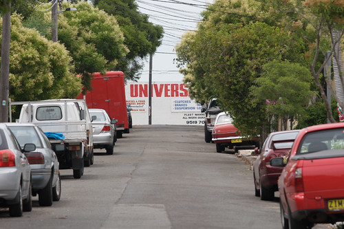


We cut through behind the factories via Robert Street and then went out onto the Pacific Highway.


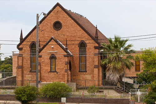
Up on the hill here, hogging the high ground is an abandoned church.


We then walked along Campbell Street...


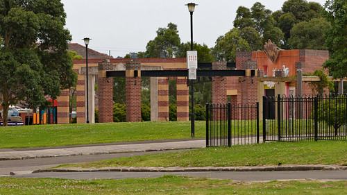
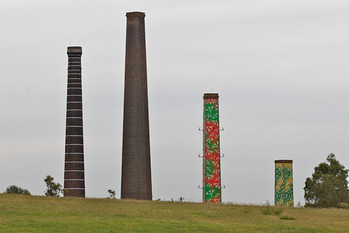
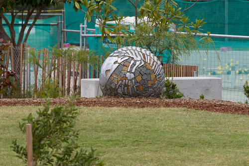
...to Sydney Park in Alexandria.
Wikipedia: Alexandria was named after Princess Alexandra, wife of King Edward VII. The name was also used for the surrounding parish. In 1868, the Borough of Alexandria was formed, after separating from Waterloo. The former Alexandria Town Hall is in Garden Street.[2]By 1943, Alexandria was the largest industrial district in Australia, and known as the "Birmingham of Australia", with everything from bricks to aeroplanes manufactured in 550 factories in just 1,000 acres (4.0 km2).[3] The municipality was abolished upon merger into the City of Sydney in 1949, along with Darlington, Erskineville, Newtown, Redfern, Waterloo, Paddington and Glebe.
In 1968 the boundaries were changed again and Alexandria was part of a new municipality, South Sydney Council. South Sydney was brought back into the City of Sydney in 1982 and then became separate again under the City of Sydney Act of 1988. In 2004, Alexandria moved back into the City of Sydney, when the City of Sydney was merged with the City of South Sydney.


They have mostly finished the new play ground.


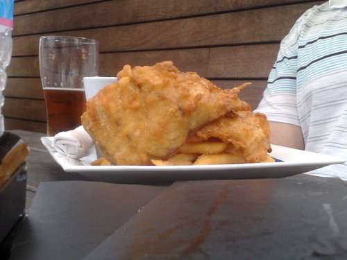
We now walked up King Street Newtown to our final destination, Kings Pub for a somewhat late lunch.
Wikipedia: Newtown was established as a residential and farming area in the early 19th century. The area took its name from a grocery store opened there by John and Eliza Webster in 1832, at a site close to where the Newtown railway station stands today. They placed a sign on top of their store that read "New Town Stores". The name New Town was adopted, at first unofficially, with the space disappearing to form the name Newtown.The part of Newtown lying south of King Street was a portion of the two estates granted by Governor Arthur Phillip to the Superintendent of Convicts, Nicholas Devine, in 1794 and 1799. Erskineville and much of MacDonaldtown were also once part of Devine's grant. In 1827, at a time when Devine was aged about 90, this land was acquired from him by a convict, Bernard Rochford, who sold it to many of Sydney's wealthiest and most influential inhabitants including the Mayor. Devine's heir, John Devine, a coachbuilder of Birmingham, challenged the will which was blatantly fraudulent. The "Newtown Ejectment Case" was eventually settled out of court by the payment to Devine of an unknown sum of money said to have been "considerable". The land was further divided into the housing that is now evidenced by the rows of terrace houses and commercial and industrial premises.


Leaving the others, I then walked home back down the hill through Enmore.